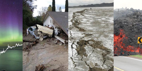

Natural and Geologic Hazards Class Resources
Direct links to some of the resources we used in Natural Hazards (formerly known as Geologic Hazards)
and the Geological Hazards upper-division classes.
NOTE: the United States federal government is currently in the process of destroying science and education so goodness only knows how many of the US based resources will still be available as time goes on. I will update things as I can but it is hard to keep up with the ongoing destruction. Check out the Environmental Resources page for some important info.
Links to some of the resources we used over the semester
General Information Sites
Emergency Events Database (EM-DAT) (you will likely have to create an account if you want to do a database search, but you can access the classification table and other information without an account at EM-DAT Disaster Classification System. They used to have a nice easy to read table but I have no idea where it is hiding now. Instead you have to click on sections in the Classification Glossary.)
earth :: a global map of wind, weather and ocean conditions
SentiVista – data from the Sentinel missions https://sentivista.copernicus.eu/
GPS/GNSS Station Data
GPS: The Global Positioning System A global public service brought to you by the U.S. government (operated and maintained by the U.S. Space Force and good grief does this site need help, even before everyone got laid off and they put up the ‘contents of this website have not been updated since February 2025 ‘ message)
UNAVCO GPS Velocity Viewer (allows users to view GPS vectors from around the world in a range of reference frames including the global IGS08 and many regional reference frames)
UNAVCO All Real-time Networks & Stations Monitoring (network monitoring (instrument state of health) information for all GAGE real-time GNSS/GPS networks)
Nevada Geodetic Laboratory (NGL) Plug and Play For Earth Science Portal (List of All GPS Stations Processed by NGL)
SONEL GLOBAL SEA LEVEL OBSERVING SYSTEM (GLOSS) https://www.sonel.org/-GLOSS,81-.html?lang=en
FEMA (Federal Emergency Management Agency) Resources
National Risk Index Map (Interactive map that allows you to look at county level or census tract level data with respect to social vulnerability and expected loss)
National Risk Index Documentation Page
Hazard Specific Resources (links to preparedness pdfs for a range of hazards)
FEMA Mobile Apps for iPhone and Android
Earthquakes
USGS Current Earthquakes (A tool for locating recent Earthquakes)
USGS Earthquake Hazards Website
Volcanoes
U.S. Volcanoes and Current Activity Alerts (USGS)
Pacific Northwest Seismic Network (PNSN)
Alaska Volcano Observatory (AVO)
USGS California Volcano Observatory (CalVO)
USGS Cascades Volcano Observatory (CVO)
USGS Hawaiian Volcano Observatory (HVO)
Yellowstone Volcano Observatory (YVO)
NASA Volcano Dashboard (ArcGIS)
Global Volcanism Program – Smithsonian Institution – Current Eruptions
Space Weather
NOAA Space Weather Prediction Center
NOAA Space Weather Enthusiasts Dashboard (This one is really neat!)
Latest HUXt (Heliospheric Upwind eXtrapolation with time dependence) Forecast Animation (solar wind model developed by one of the Heliophysics teams from University of Reading)
Mass Wasting
USGS Landslide Hazards Program
USGS U.S. Landslide Inventory Web Application
Weather and Climate
National Weather Service Weather Forecast Offices Data Portal
U.S. Climate Data (scroll down to select a location or use the search function)
National Hurricane Center’s Data Archive
NASA Scientific Visualization Studio
Fire Information for Resource Management
National Water Dashboard (lower 48)
NOAA National Data Buoy Center
NOAA National Water Prediction Service
NOAA Interactive Flood Information Map
NOAA Coastal Flood Exposure Mapper
Wildfire / Smoke
National Interagency Fire Center Maps Page (United States and Canada) (access to several different resources)
Fire Information for Resource Management Systems (FIRMS) US/Canada (included above but this is a direct link)
AirNow Fire and Smoke Map (EPA Air Quality Index data)
FireSmoke Canada Current Forecast
Social Science Data
NASA Socioeconomic Data and Applications Center (SEDAC) Population Map Gallery (you have to make an account to use this one)
